


Ensuring Safety When Autonomous Vehicle RF Links Fail
投稿人:DigiKey 北美编辑
2016-11-29
Major corporations with deep pockets are actively pursuing autonomous vehicles and machines; but with lives and legal liability in the balance, designers are under pressure to ensure navigation performs optimally. This implies sensor backup and redundancy.
This article describes situations where wireless navigation aids like GPS and Wi-Fi can be rendered inoperable. It will then outline a design and implementation approach that uses alternative and complementary navigational aids and sensors for autonomous vehicles and robots. In particular, it will point to options that help compensate for the vagaries of an RF connection for location and status.
Tech adoption’s un-sensed side effects
From delivery services for products and pizza, to Johnny Cabs from ‘Total Recall”, both car makers, retailers, and service corporations (like Uber) are putting a lot of resources into robots and vehicles that are location aware and adaptive to their immediate environments.
Meantime, the federal government has given the green light for states to regulate autonomous vehicles, and we are living in an evolving time with this new technology just beginning to be integrated into the transportation networks. As design engineers, we need to make sure this is done safely, especially given how lives and liability are in play.
While navigational aids like GPS have become almost indispensible, it seems that the more we rely on technology, the less able we are to perform even the mundane tasks that our devices perform. It’s getting to the point where people rely on GPS to navigate places they traverse on a daily basis. This can be troubling, especially as we realize that our technologies can fail. And when they do, we risk helplessness; or worse.
For example, as GPS systems strive to achieve finer resolution to ensure accuracy and reliability, there will be times when loss of signals could lead to catastrophic effects without some form of system backup. Anyone using a GPS knows what happens to a GPS signal upon entering a long tunnel.
One common technique to compensate for loss of GPS signal is cellular geolocation. This relies solely on signal strength alone to get a sense of location. However, since cell towers identify themselves, knowing where they physically exist on a map means the received signal strength indicator (RSSI) feature on the RF front end of a device can use that information to triangulate an approximate location.
That said, atmospheric conditions could affect signal strength, even between cell towers. Something as random and unpredictable as a smoking fire between the cell tower and self-navigating receiver can affect signal strength enough to result in an inaccurate location.
Advances in cellular technology now allow other techniques such as carrier-phase comparisons and timestamping to back up signal strength as a means of increasing reliability of geolocation and resolution of location. And, it is not just cellular data that navigation systems have at their disposal.
With time, more fixed signal sources have become available for navigationally self-aware systems to ascertain their precise location. For example, modern fixed Wi-Fi nodes are being used as signal sources that can act like navigation beacons. Even radio stations and repeaters can be used for this purpose.
Still, there are times when conditions may render RF-based triangulation and navigation systems completely inoperative. These can include terrestrial noise sources such as downed and arcing power lines, terrorist jamming, atmospheric conditions, or even space-based interference such as coronal mass ejection or electromagnetic interference, which can render virtually all bands of an RF-based system completely inoperable.
While a human is in control of operating a vehicle, this may just be a navigational inconvenience. However, when a machine alone is responsible for keeping vehicles on the road, any positional error can cumulatively become worse with time and wreak havoc as cars and trucks stray away from lane dividers and miss exits and entrances.
Here is where smart designers hedge their systems by implementing dual, redundant, and technologically independent sensor technologies that back each other up. Alternative navigation and positioning technology will need to be employed, even if for short durations when primary signals are lost.
One technique that is particularly appealing is the use of highly accurate inertial navigation systems. Coupled with compact and dense storage of detailed route maps, inertial navigation systems with suitable processors can superimpose a last-known position with cumulative inertial navigational sensor technologies to interpolate during those times when reliable positioning signals are unavailable.
Independent but entangled
Navigation systems such as GPS, cellular or Wi-Fi geolocation all rely on the same RF medium. However, alternative sensing technologies operating in tandem without depending on a wireless connection have proven to be cost effective yet reliable solutions in many military systems. Here, independent sensing and decision-making technologies live side by side along with an integrated task executive processor (Figure 1). This architecture allows decision making at higher levels based on factors like signal integrity, reliability, and comparing results and decisions.

Figure 1: Dual redundant sensing systems can use their own unique sensors or share sensors to arrive at conclusions independently. A managing task executive processor can monitor results and/or raw data to make a determination if either system has a fault. This can present a system host processor with more highly reliable data. (Source: DigiKey)
To make this work, both primary and backup sensor technologies must live a redundant existence by checking on each other and be prepared when issues and faults are detected or sensed by either side. These can be as simple as a watchdog type of technology that presents a heartbeat to the other system to indicate it’s in operation. Conversely, it can be a more complex system that presents raw data back and forth to make sure each system comes to the same conclusions. Note both technologies can share the same mapping technology.
An independent inertial navigation system can be an ideal solution to kick into gear when RF is not available. However, reliable gyro based inertial change and positioning systems have traditionally been too bulky, costly, and complex to use as a means of detecting inertial differences, and they were prone to mechanical failure. Laser gyros are still expensive, but eliminate the mechanical failure modes.
Pushing the technology forward
Fortunately, the cell phone industry has driven semiconductor accelerometer offerings that are rivalling performances of laser gyro systems of yesterday, to provide both compact and cost effective solutions to this design dilemma. Several quality semiconductor manufacturers offer compact accelerometer and semiconductor gyro devices, reference designs, and development kits to help get designers up to speed.
For example, the Fairchild/ON Semiconductor MEMS sensor technology is perfectly suited to perform well in this capacity. With up to 9-axis sensing, its fusion-based algorithmic approach uses a proprietary AttitudeEngine motion processor that provides a high degree of functionality at low unit cost. Its designers also emphasized extended battery life using low-power, integrated, energy-management technologies.
While sensor providers such as Fairchild (now part of ON Semiconductor) put a lot of effort into making multi-axis sensors easy to use, you still need to be aware of the intricacies of error correction and accuracy. This is very important since inertial errors exhibit a cumulative effect. One source of this error is known as coning, which can be affected by sampling rates (Figure 2).
Error correction can minimize orientation drift under coning motions. This is where 1 axis sweeps a cone in space without any rotation around the direction of motion axis itself. Coning drift rate is directly proportional to the square of the coning amplitude and is inversely proportional to the coning frequency.

Figure 2: Understanding and implementing error correction for coning and sculling are critical with any type of inertial navigation system that can exhibit cumulative errors. (Source: Fairchild/ON Semiconductor)
Related to this is the understanding of sculling motion. This occurs when one gyroscopic function and one orthogonal accelerometer channel sense two out-of-phase oscillations with the same frequency. If the signals are not sampled fast enough, sculling motion results in velocity integration drift on the third channel.
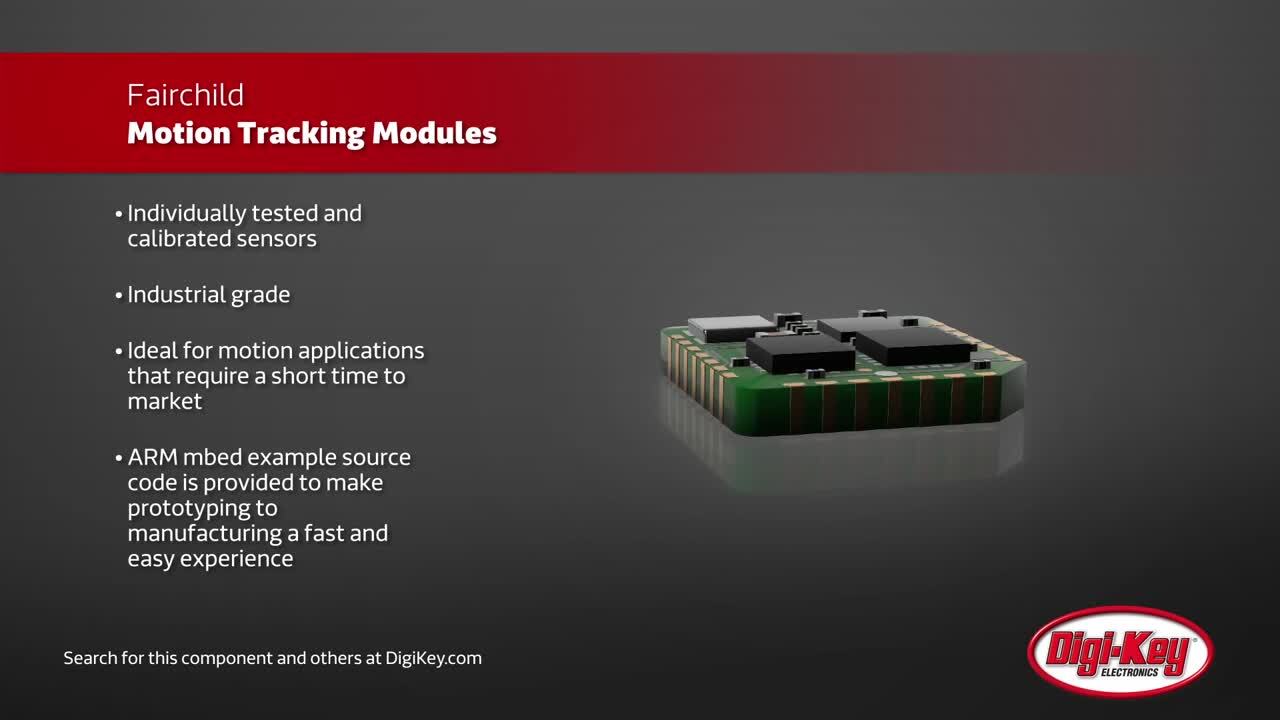
Fairchild offers a compact sensor chip that is well characterized to compensate for these and other sources of potential error. For example, the FIS1100 can be used in complete inertial navigation systems and can provide accelerometer and gyroscopic sensing in three axes using a simple I²C interface to host processors for easy peripheral-like functionality.
There are several learning and design support boards like the FEBFIS1100MEMS_IMU6D3X supporting gyroscopic and accelerometer sensing, as well as the FM1030T for 3D orientation. A nice OEM choice could be the compact FMT1020T eval board (Figure 3). This can measure and process accelerometer, gyroscope, magnetometer, and 3-axis sensing using serial I²C, SPI, and UART outputs.

Figure 3: Reference designs such as Fairchild’s FMT1020T allow engineers a cut and paste functionality to create their own boards. Many compact modules can be used to either OEM or test design approaches allowing quicker time to market. (Source: Fairchild/ON Semiconductor)
The FMT1020T comprises the sensor itself (FIS1100), along with an ARM® Cortex®-M4 MCU to offload the host CPU. The MCU also runs the Fairchild XKF3 sensor fusion algorithm. This is based on a Kalman filter to estimate 3D orientation with respect to an earth fixed frame. Multiple filter profiles are available, from general to highly dynamic with lots of motion.
Back up your backup
A backup to the backup can use a Hall-effect sensing device like the Bosch BMM150 for monitoring XYZ-axis changes using magnetic field measurement techniques. This integrated device uses proprietary FlipCore Hall-effect-based XYZ-axis sensing to provide magnetometer and compass-based sensing to any inertial processor engine. Again, a simple SPI serial interface allows streamlined peripheral like functionality to any high end core processor technology.
Knowing a change in displacement based on change of velocity and acceleration alone will not let you navigate. The use of highly accurate map data is key to allowing a location-aware system to continually navigate based on inertial changes. This is where highly dense flash technologies like NAND architected sector driven memory devices become very useful. They allow systems to store detailed localized mapping with high resolution in compact, low-power boards that can coexist with cellular, Wi-Fi, and GPS systems independently.
Conclusion
It is unclear how legislative actions will affect this emerging technology, but the liability concerns alone dictate redundant design approaches for the best performance in all conditions.
Wireless technologies such as GPS, cellular and Wi-Fi are a first line for accurate positioning and location information. However, these need to be backed up by self-monitoring systems that use a combination of relative and absolute sensing information to ensure a vehicle stays on track if a wireless signal fails; and these sensors need redundancy strategies.
Ultimately, the operator will be responsible for the control of their vehicles. However, when autopilot technology advances to the point where there is almost 100% confidence, autonomous cars, planes, trains, and robots will definitely have to implement redundant sensing technologies and approaches.
免责声明:各个作者和/或论坛参与者在本网站发表的观点、看法和意见不代表 DigiKey 的观点、看法和意见,也不代表 DigiKey 官方政策。


 中国
中国